


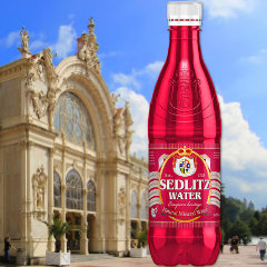
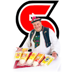
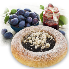
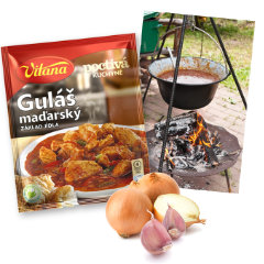


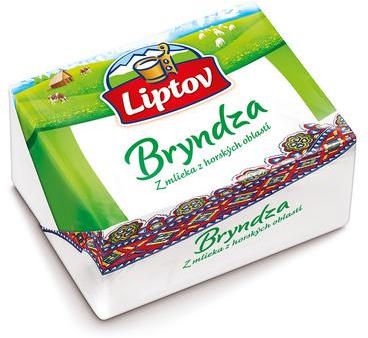
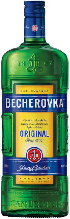
Top Rate Products


Zahorie
About Region
Záhorie is included in Skalica, Senica, Malacky, Bratislava 4 (Bratislava Záhorská) and partly Myjava. The territory to the west defines the border with Austria, formed by the river Morava, in the northwest border with the Czech Republic and the eastern border districts of Trenčín and Trnava. In the southeast region bordered by the Little Carpathians. In Slovakia, for the area Pomoravia become established name Záhorie. This name has old roots that date back to the 17th century. It comes from the Latin name Processus transmontanus, which has been referred to district Bratislava county, which lay at the Little Carpathians (in the mountains - Záhorie). To refer to this region in the past used the names of the Moravian field in Slovakia, the Slovak Morava, Moravian or Moravian lowlands down, but Zahorie named to this day.
From an administrative point of view Zahorie never assume a unified whole. In times of the existence of the Austro-Hungarian Empire it was one of the two county: Southern part of the river Myjava belonged to the Bratislava county and the northern part of the Nitra County. Later, the territory Záhoria has divided into five districts: Bratislava, Malacky, Senica, Skalica and Myjava. In 1960 during the reorganization of state administration in the north Záhoria created one big Senica district and the southern part was annexed to the district of Bratislava-country.
History
Záhorie was, due to natural and climatic conditions, favourable to the ancient settlements in Slovakia. Footprints left behind are Paleolithic. One of the oldest inhabited places on Záhorí include Deravá rock cave near a paleolithic settlement at Sološnica. The continuous settlement Záhorska area can be Neolithic, which dates back to the period from 5000 to 3000 BC This interval is characterized by the transition from hunting and gatherer way of life to the growing of crops, keeping livestock and the production of more efficient stone tools. The earliest farming settlements on fire in Sweden representing the people volute culture whose remains have been preserved on the territory of vitriol and Radošoviec. People built most settlements on terraces of rivers and streams or the sand dunes and engaged in pottery. The findings from this period confirm the settlement in Dubravka, Lamac, Šaštín - Stráže, infants, deep, shaving, Vrbovce and Čáčov.
City to know about
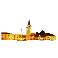
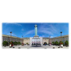
Malacky is a town and municipality in western Slovakia around 35 kilometres (22 miles) north from capital Bratislava. From the second half of the 10th century until 1918, it was part of the Kingdom of Hungary. The name of the city, which was first mentioned in writing in 1206, refers to the Hungarian word "Malacka" which means "piglet" in Hungarian and the town seal features a pig, although some Slovaks deny the Hungarian origin of the name and argue that it refers to a local stream.
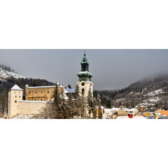
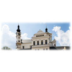
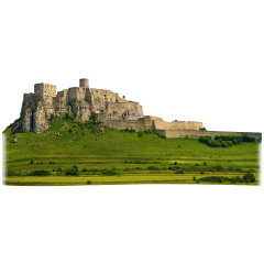
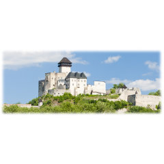
Senica is located in the north-eastern part of the Záhorie lowland, close to the Little Carpathians. Senica's history is closely related with the Branč castle, built in 1251–1261. It was first mentioned in 1256 and received its city privileges in 1396, confirmed in 1463 and 1492. The city was affected by Turkish wars, anti-Habsburg uprisings and reformation and counter-reformations in the 17th century. In 1746, it became seat of the district within the Nitra county.
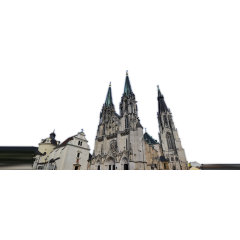
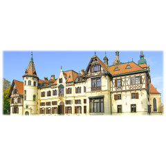
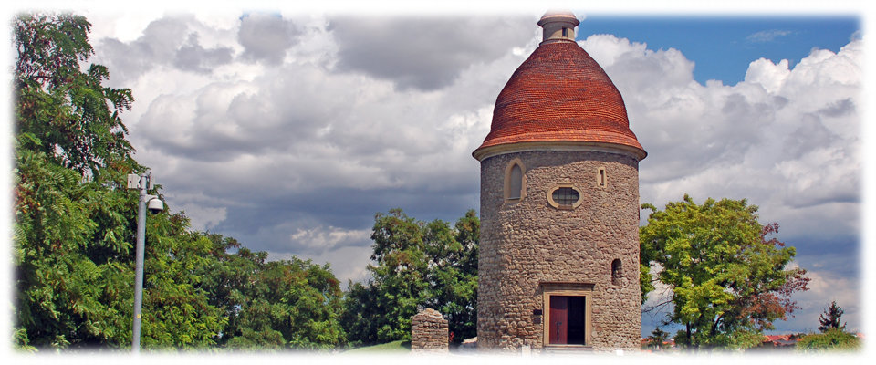
Near the remnants of one of Skalica's city walls is one of Slovakia's oldest works of construction, the Romanesque Rotunda of St. George. Although its exact date of origin is unknown, it was constructed by the 12th century at the latest. A Baroque dome was attached to it in the 17th century. The city has several churches, including a Jesuit church and monastery, the 15th century Parish Church of St. Michael, and the 15th century Franciscan church and monastery. Other sights are Skalica's Late Renaissance town hall and the Skalica Culture House built in the Art Nouveau with elements of Czech and Slovak folklore.
Nature
In the middle of the region is the Záhorská nížina, a plain between the towns of Senica and Malacky. Most of the area is forested and left as such because its sandy subsoil is not suitable for farming. The forested area is used as a testing range for military vehicles, especially tanks and artillery. The testing range is called the Záhorie Military Technical Testing Institute, and it contains the testing range, the Kuchyňa airbase and the village of Záhorie. Headquarters are located in the village of Záhorie and includes storage facilities and research facilities. The western edge of the region is formed by the river Morava. The eastern border is the Carpathian Mountain Range. On the north is the Chvojnická pahorkatina. The Myjava River flows through the region, and nearly every village has a dam or lake.